

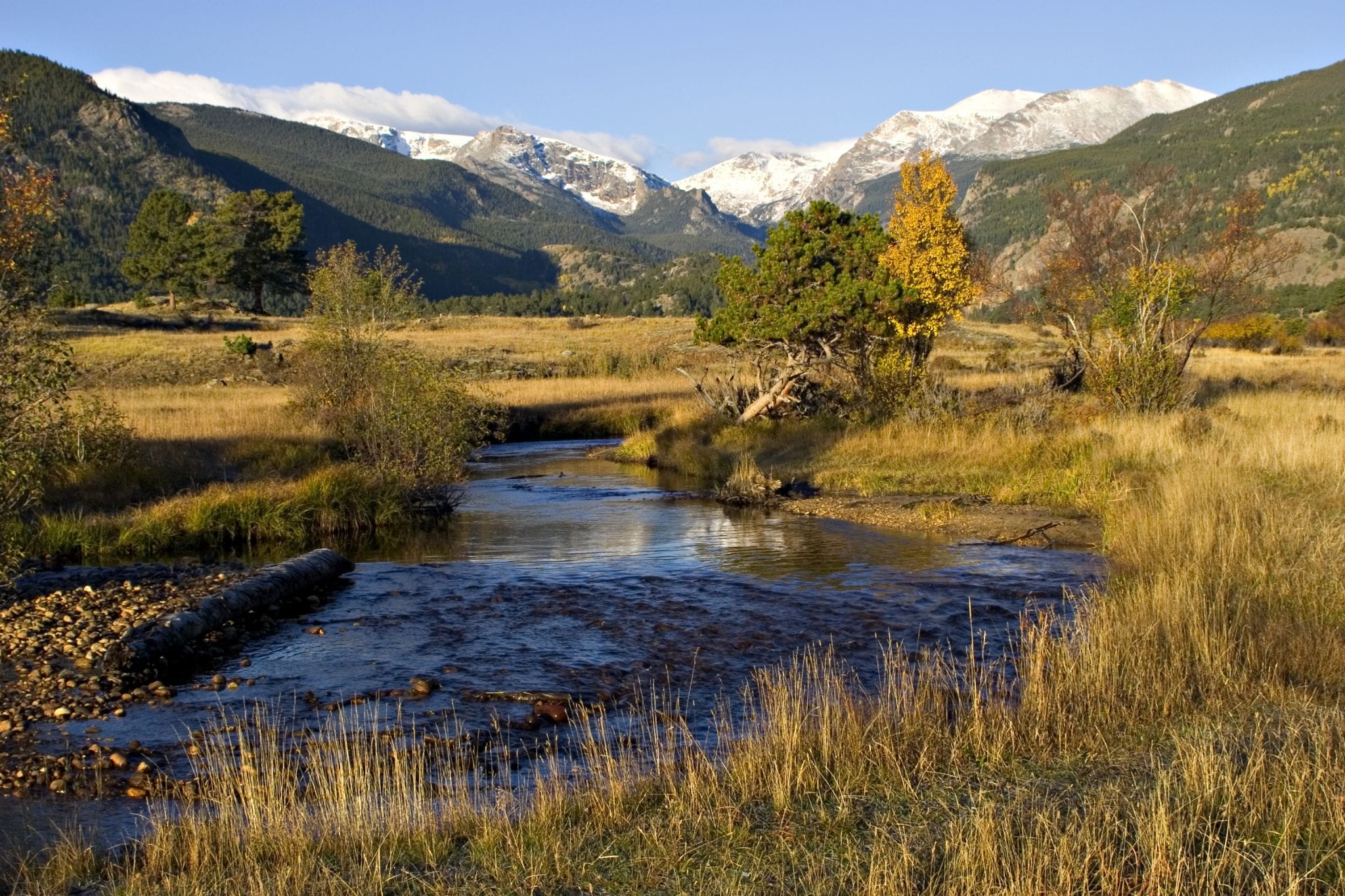
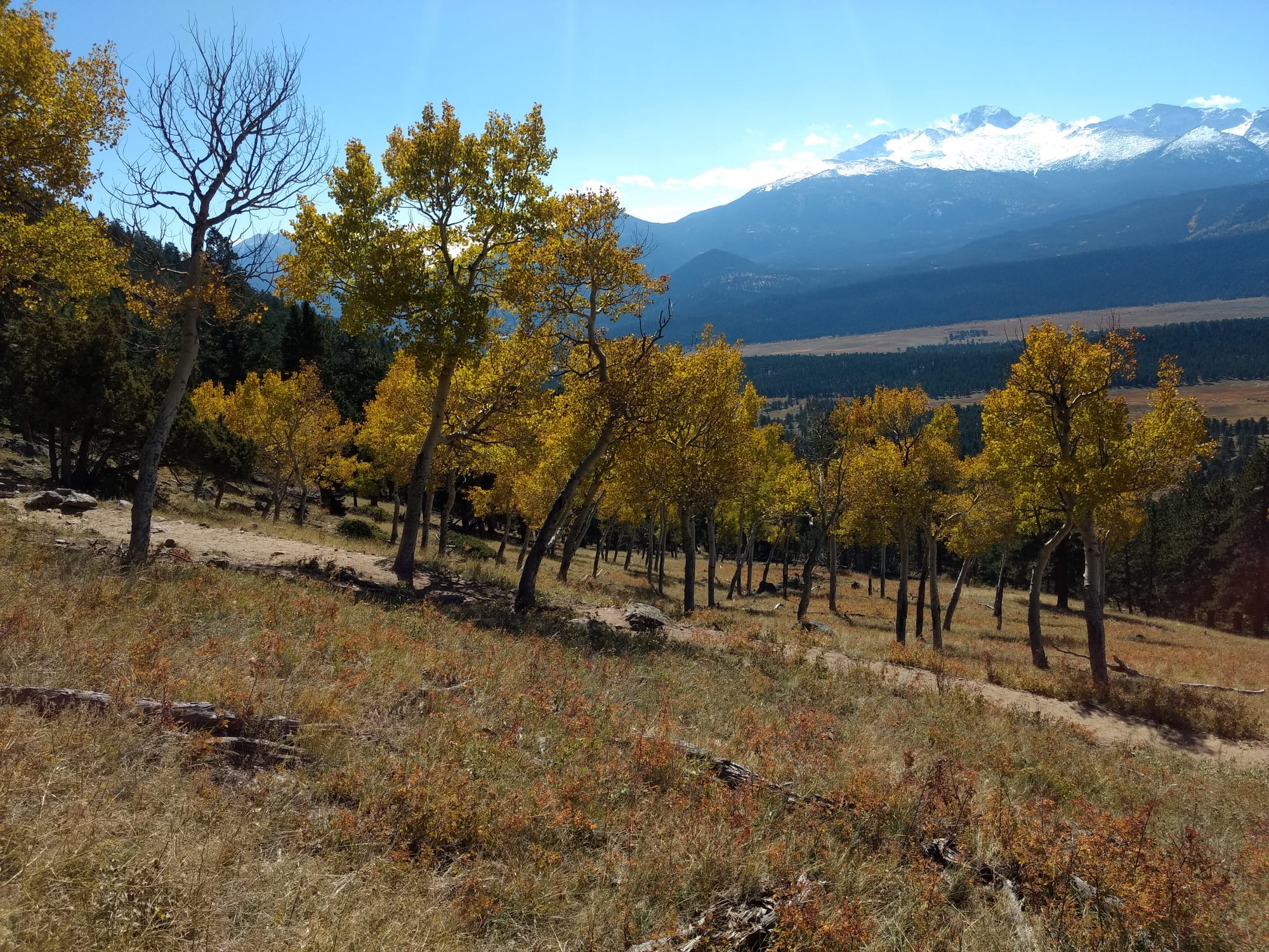
Rocky Mountain National Park is beautiful, no matter the season. But come September, the park lights up with pockets of gold from the yellowing aspens and becomes a haven for wildlife viewing with the elk rut in full swing during the fall season.
Visitors to the park can enjoy bugling elk, the changing of the leaves, fewer crowds, and moderate temperatures, making autumn one of the best times to visit the park. One of the best ways to experience Rocky Mountain National Park (RMNP) in autumn is with its many hiking trails and scenic drives. Discover the best of the fall season in Colorado with these fall hikes in Rocky Mountain National Park.
Pets are prohibited on ALL Rocky Mountain National Park trails, tundra, and meadows. Pets and owners have a special bond. But a national park is not always the best place for pets. – NPS
Here are among the best trails and roads in RMNP for fall colors, in no particular order:
Alberta Falls
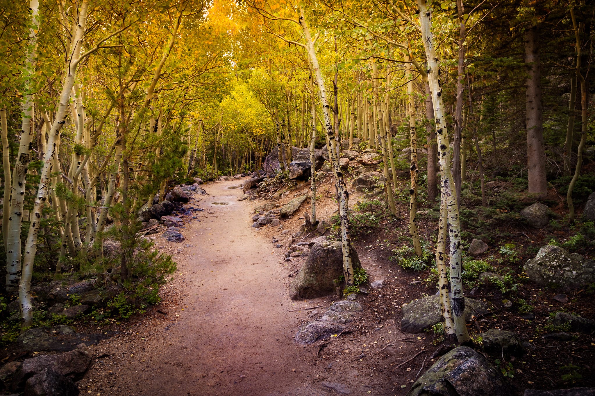 The trail to Alberta Falls with yellow aspen leaves. Photo by Christian Collins.
The hike to Alberta Falls is one of the more popular fall hikes in Rocky Mountain National Park. Found in one of the most scenic areas in the park, just south of Bear Lake, hikers will enjoy the ultimate in Colorado landscapes with dense aspen groves, a rushing creek, towering mountain peaks, and a cascading waterfall to boot.
Begin at the Glacier Gorge Trailhead and follow the trail up to Alberta Falls, widely viewed as one of the best waterfalls in the park. The 30-foot waterfall plunges into the small gorge of Glacier Creek, the perfect place to stop and enjoy a picnic with your favorite fall treats.
Distance: 1.7 miles
Elevation gain: 200 feet
Type: Out and back
Bear Lake Loop
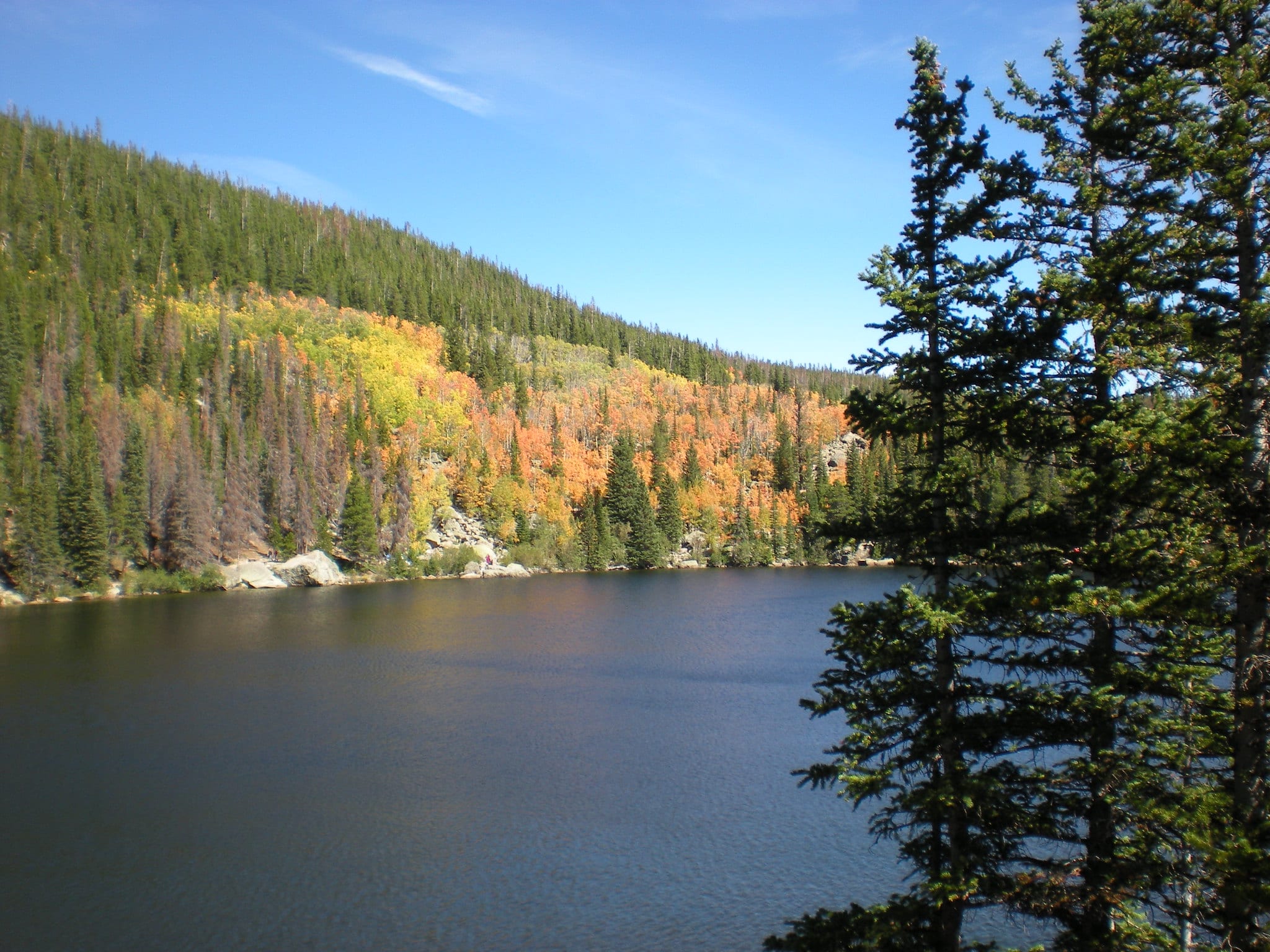 Bear Lake in the fall. Photo by Tim & Stacy Fisher.
No matter what time of the year it is, a hike around Bear Lake is always beautiful. The easy loop showcases colorful aspens reflecting off the lake with a towering backdrop of granite mountain peaks, making this trail a favorite amongst visitors. The 0.8-mile-loop is flat and is easily accessed from Bear Lake Road, making this a great hike for the entire family.
Stacked with 30 marked areas of geological and historical information, the Bear Lake Loop packs in the true Rocky Mountain experience in just a short length. Due to the popularity of this hike, it is advised to take the free shuttle from Estes Park. After September 8th, the shuttle only runs on weekends. If you drive, begin at Moraine Park and head up Bear Lake Road to the trailhead.
Distance: 0.8 miles
Elevation gain: 45 feet
Type: loop around the lake
Upper Beaver Meadows Loop
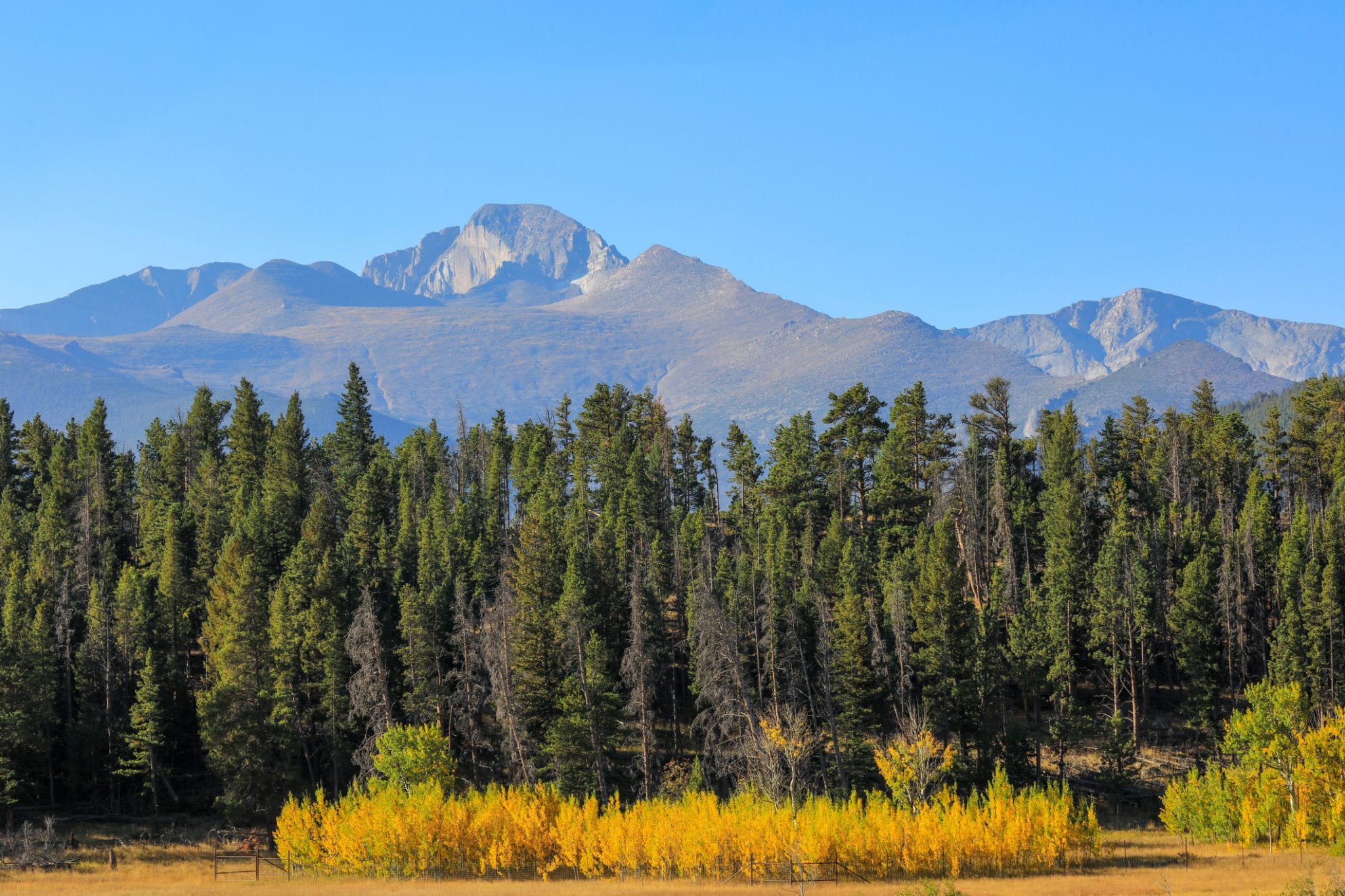 Changing aspens and Longs Peak viewed from Upper Beaver Meadows. Photo by sboice via Getty Images.
While a bit longer, the minimal elevation gain along the Upper Beaver Meadows loop makes this an easy hike for the entire family. The 5-mile loop guides hikers through the beautiful Beaver Meadows and provides views of the Continental Divide and the park’s only 14er, Longs Peak.
While you are guaranteed to see the yellowing aspens, the other reason that makes this one of our favorite fall hikes in Rocky Mountain National Park is the elk herds that graze and bugle these meadows.
Distance: 5 miles
Elevation gain: 374 feet
Type: Loop
Wild Basin Trail
 Ouzel Falls along the Wild Basin Trail in Rocky Mountain National Park. Photo by sboice via Getty Images.
Feel like you’ve truly escaped and explore one of the more remote parts of the Rocky Mountain National Park, with the Wild Basin Trail. Aside from the fall colors that can be seen along this route, is the remarkable collection of waterfalls along the way including, Calypso Cascades, Copeland Falls, and Ouzel Falls.
Combining all three waterfalls makes this a 5.5-mile-route, with Ouzel Falls the last waterfall. Make it an out-and-back route by hiking back the way you came or hike another mile past Ouzel Falls to take the Wild Basin Trail back. The trailhead is found 13 miles south of the Beaver Meadows Center in Estes Park.
Distance: 5.5 miles
Elevation gain: 1,250 feet
Type: Loop or out and back
Alpine Ridge Trail
 Scenic views from Alpine Visitor Center at Rocky Mountain National Park. Photo by aimintang via Getty Images.
Take your adventures to new heights with a hike along the Alpine Ridge Trail. The trail begins at the Alpine Visitor’s Center at the top of Trail Ridge Road. The 0.6-mile hike is short but relatively steep, reaching an elevation of 12,005 feet. Hikers are greeted with expansive views of the park, all above the treeline.
The entire route passes through expansive alpine tundra, with blossoming flowers in the summer and patches of fall colors in autumn. In addition to the coloring tundra, also take in 360-degree mountain views of the Never Summer Mountains, Ypsilon Mountains, and Mt. Chiquita.
Distance: 0.6 miles
Elevation gain: 209 feet
Type: Out and back
Sprague Lake
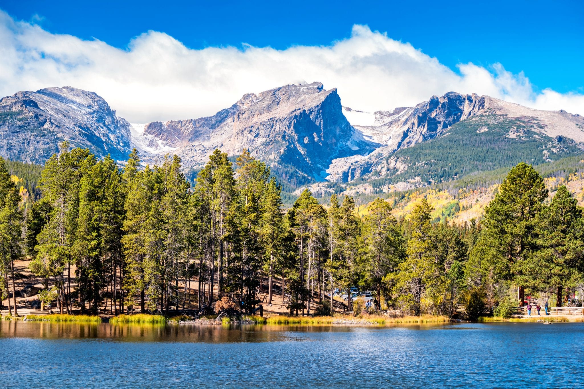 Sprague Lake in the fall. Photo by benedek via Getty Images.
Sprague Lake is one of the most popular destinations in the park, no matter what the season. The easy 0.9-mile loop around the lake provides instant views of jagged mountain peaks including Taylor Peak, Hallett Peak, and Flattop Mountain, dense aspen groves, with the 13-acre Sprague Lake as its centerpiece.
The trailhead is located off Bear Lake Road, roughly five and a half miles from HWY 36. This is another popular hike within the park, so the shuttle system is recommended, if available.
Distance: 0.9 miles
Elevation gain: 22 feet
Type: Loop
Twin Sisters
Located on the eastern edge of Rocky Mountain National Park, the Twin Sisters hike provides easy access to high peaks and fall foliage. Just outside the park’s boundary, the first few miles of the trail hikers will pass under a thick canopy of aspens lit up with colors of yellow and orange.
After 3.4 miles, the trail reaches the saddle between the two peaks and commanding views of Mt. Meeker, Longs Peak, Estes Cone, and the Continental Divide. To get there, head south from Estes Park along HWY 7 to Lily Lake.
Distance: 7 miles
Elevation gain: 2,475 feet
Type: Out and back
Gem Lake
 Gem Lake in Rocky Mountain National Park. Photo by Keith Burton.
The Gem Lake trail has it all, an alpine lake, an abundance of aspen groves, and panoramic views of Estes Park and Longs Peak. Begin the hike at the Lumpy Ridge trailhead, where hikers walk through a narrow canyon, soon revealing itself with views of Estes Park, along with mountain views just as you approach Gem Lake.
If you are feeling ambitious, continue to Balanced Rock or the Cow Creek Trail.
Distance: 3.5 miles
Elevation gain: 1,000 feet
Type: Out and back
Mills Lake
 Autumn colors at the Mills Lake outflow in Rocky Mountain National Park. Photo by Dale Bohlke.
The hike to Mills Lake encompasses it all, colorful aspens, a subalpine lake, and a waterfall. The trailhead begins at the Glacier Gorge Trailhead, located along Bear Lake road. Within less than a mile in, hikers will encounter Alberta Falls (mentioned earlier), the majestic Glacier Gorge, and eventually Mills Lake.
Very popular in the spring and summer, this hike also steals the show in the fall with the colorful aspen groves that surround it.
Distance: 5.3 miles
Elevation gain: 780 feet
Type: Out and back
Bierstadt Lake Loop
 Bierstadt Lake Loop in the fall. Photo by dustin j williams.
This timeless loop is popular amongst both leaf peepers and wildlife viewers. The route to the lake is wrapped by pine and aspen groves, and the resident moose usually makes his appearance at the lake.
Begin the hike near Bierstadt Lake Trailhead, where you climb for a bit until you reach Bierstadt Moraine. As hikers continue to ascend, they will be rewarded with beautiful views at the top of the mountain peaks that make up the Continental Divide.
Distance: 3.1 miles
Elevation gain: 626 feet
Type: Out and back, loop at the lake
Cow Creek Trail
Beginning at the historic McGraw Ranch, Cow Creek Trail is not only popular for its abundance of aspens, but its access to Bridal Veil Falls. Paralleling Cow Creek, the hike meanders through grassy meadows and aspen groves to reach the cascading falls at 3.1 miles. Often less crowded in the fall, this hike is a true treat for those seeking the solitude of Mother Nature.
Distance: 6.2 miles
Elevation gain: 990 feet
Type: Out and back
Fern Lake Trail to The Pool
 Moraine Park in late autumn with the Big Thompson River flowing through the meadows. Photo by sherwoodimagery via Getty Images.
Take the easy, Fern Lake Trail to what the park calls, “The Pool.” No, this is not your backyard swimming pool but rather where the Big Thompson River and Fern Creek converge at the Cub Lake Trailhead. Fern Lake trail follows the Big Thompson River to The Pool and meanders through forest and a few open meadow areas that offer good views of the Big Thompson Valley.
Along the way, gaze up at the whispering yellow aspens along with dense pine forests and Cottonwoods. The hike begins at the Moraine Park area at the Fern Lake Trailhead.
Distance: 3.4 miles
Elevation gain: 205 feet
Type: Out and back
Loch Vale Trail
Beginning at the Glacier Gorge Trailhead, this moderate trail brings you through aspen groves to The Loch, a subalpine lake at just over 10,000 feet. Take in commanding views of Taylor Peak and Taylor Glacier, Thatchtop Mountain, and the famous Sharktooth Mountain. Explore even more and continue up to Sky Pond, where you can enjoy even more fall views.
Distance: 5.7 miles
Elevation gain: 1,072 feet
Type: Out and back
Deer Mountain Trail
 Deer Mountain Trail in autumn. Photo by Daniel Kammer via Getty Images.
The hike to Deer Mountain is one of the more popular fall hikes in Rocky Mountain National Park. Begin at Deer Ridge Trailhead, 3 miles west of the Beaver Meadows entrance, to follow the North Deer Mountain Trail. The summit at just over 10,000 feet, provides commanding 360-degree views of Estes Park, Moraine Park, the Mummy Range, Longs Peak, Hallett Peak, and the Continental Divide.
Here, with a bird’s eye view, you can spot the changing of the leaves as far as the eye can see.
Distance: 6.2 miles
Elevation gain: 1,210 feet
Type: Out and back
Drive these RMNP Roads for Fall Colors
Give your feet a rest and take one of these scenic drives through Rocky Mountain National Park for epic fall colors.
Bear Lake Road
 Bear Lake Road with colorful aspens in the fall. Photo by Brendan Bombaci.
Not only does Bear Lake Road provide access to some of the park’s most popular trails, but it is also a great drive during the fall with roadside aspens hugging the route. Begin at Beaver Meadows Entrance and drive up to Bear Lake Road to Bear Lake, making this a 23-mile round-trip drive. This is a very popular route, so be prepared for other motorists.
Old Fall River Road
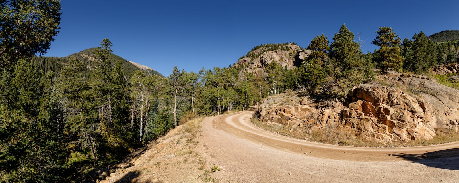 Old Fall River Road, CO. Photo: Tim Lumley
Old Fall River Road is 9.4-mile gravel, one-way road that guides passengers along the steep slope of Mount Chapin. The speed limit along this road is only 15 miles per hour, making it a great option to keep your eye out for the autumn leaves and stunning views that come with this drive.
One of the best spots to see fall colors is at the Fall River Cirque at the top of the valley, where sprawling tundra light up a golden yellow. It ends at the Alpine Visitor Center and Trail Ridge Road, which you will take back to Estes Park or onward to Grand Lake.
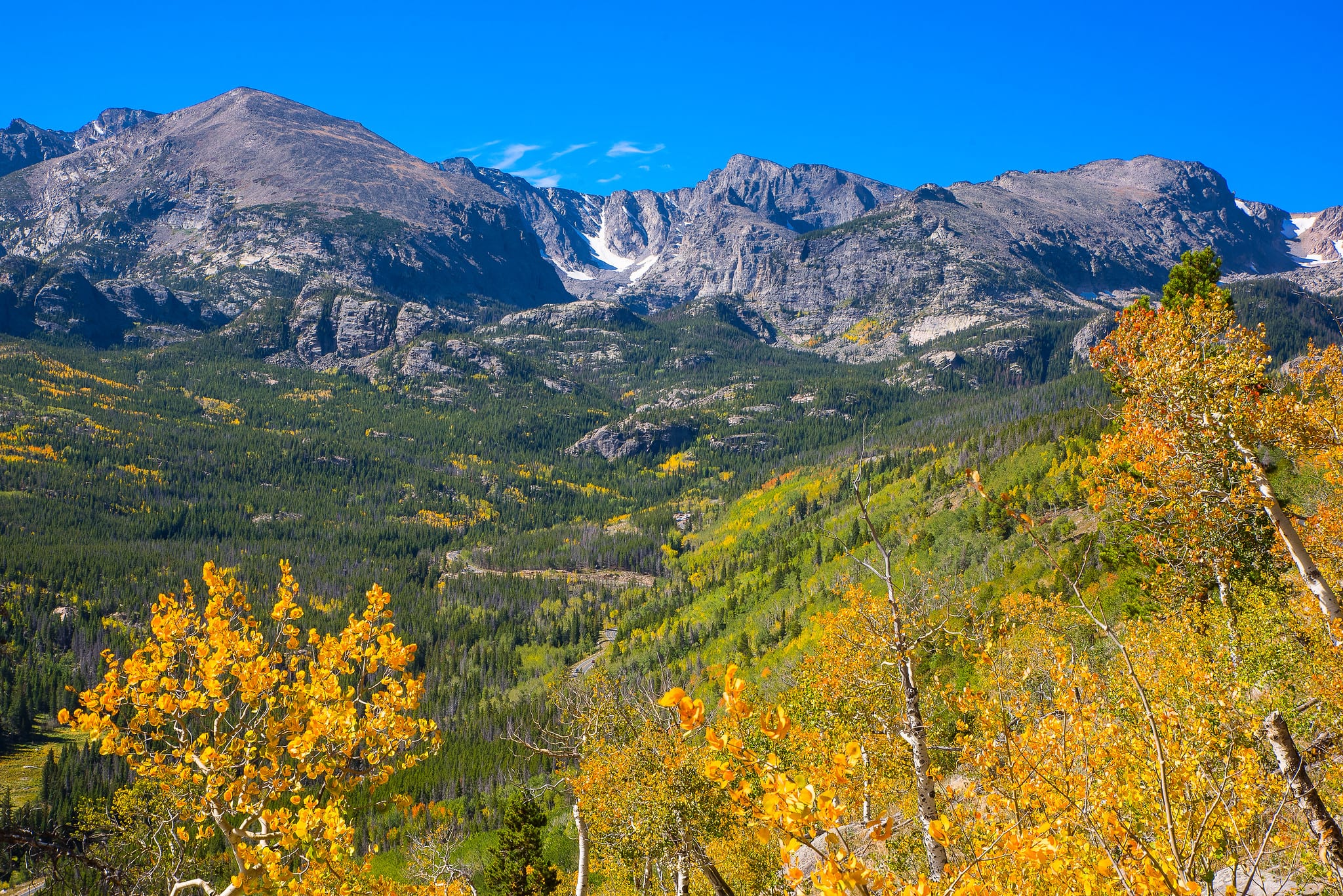
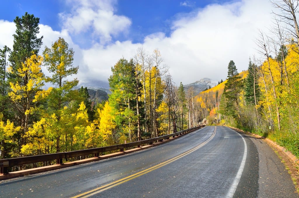
Trail Ridge Road
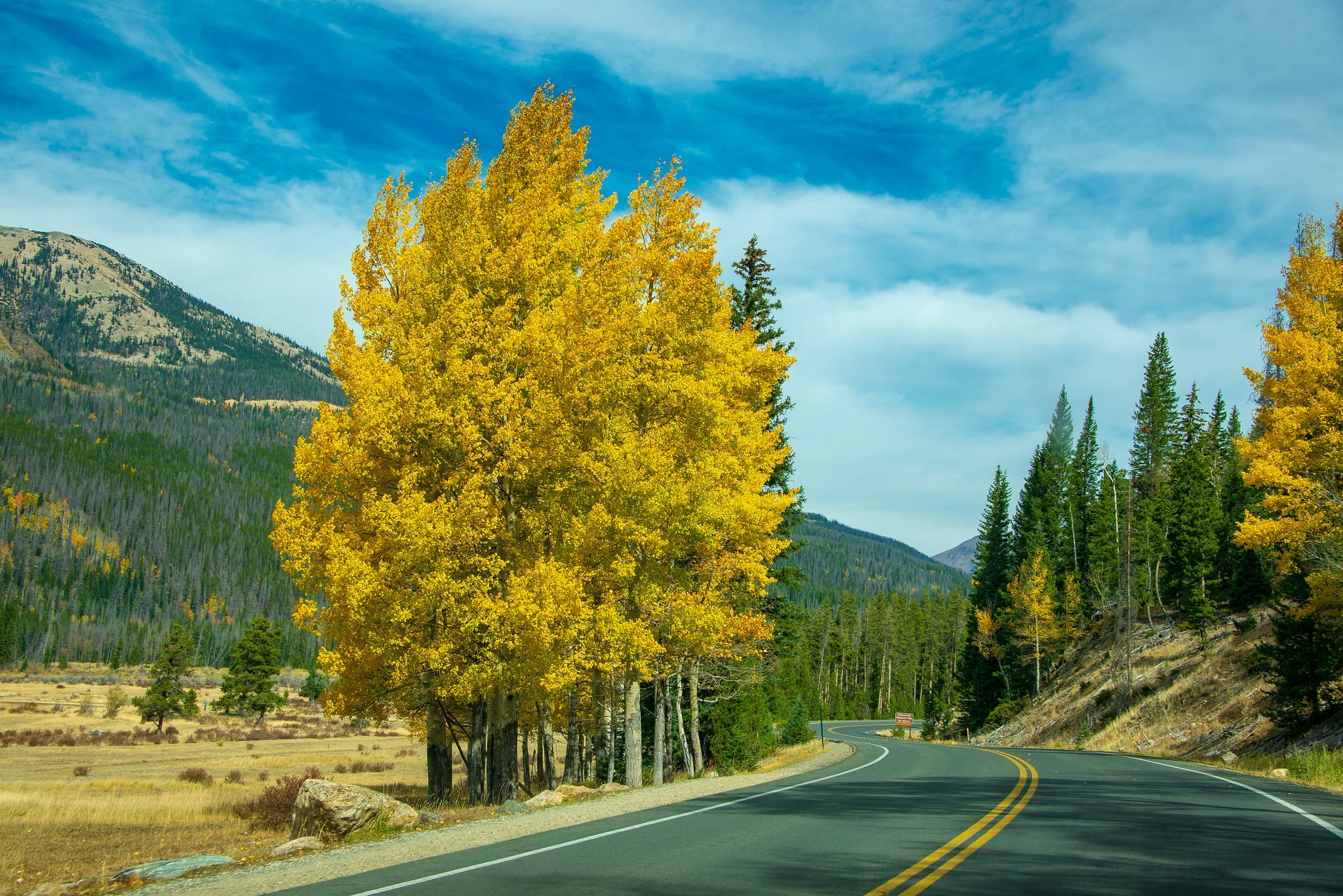 Trail Ridge Road in the fall as it goes through the Kawuneeche Valley. Photo by Kent Kanouse.
Trail Ridge Road is the most popular scenic drive within the park. With 11 miles above the treeline, reaching its highest point at 12,183 feet in elevation, Trail Ridge Road provides travelers with spectacular panoramic views of the fall colors that dot the park’s mountainous landscape. Plus, enjoy the aspen-lined roads before reaching the treeline, such as the section through the Kawuneeche Valley.
Fairview Curve is one of the best spots to see the aspens. At 10,000 feet, enjoy views of the Mummy Range where aspens sprinkle the mountain range, and the colorful Kawuneeche Valley below. Before heading out, be sure to check the national park’s website for road closures.
That’s a roundup of some of the top hikes in RMNP for seeing fall foliage. Check out the park’s official website for a complete list of hiking trails. Happy hiking!
Read about some other things to do in Rocky Mountain National Park.