

Whether you’re looking to beat the summer heat of Colorado’s urban front range, or are just curious, the Rocky Mountains boast several towns at a very high elevation. From the largest incorporated city in the U.S. to one of its most popular ski towns, Colorado features a number of places to stand well above sea level.
Elevation measures the total height above sea level. Whereas, altitude is the height of something over the earth’s surface. Meaning towns, such as Denver, don’t have an altitude of 5,280 feet, but an elevation. An airplane going overhead Denver might be cruising at an altitude of 30,000 feet.
Lowest vs Highest Elevation in Colorado
 Downtown Leadville, CO. Photo: familyfriends754
To give you a base for elevations in Colorado, Denver sits at an elevation of 5,280 feet (the Mile High City). Fort Collins to the north is similar at 5,003 ft and Colorado Springs to the south is higher at 6,035 ft. Pueblo at the most southern end of the Front Range Urban Corridor is 4,692 ft.
On the far opposite side of the continental divide on the Western Slope, Grand Junction resides at 4,583 feet on the Western Plateau. So basically if you head west from Denver or east from Grand Junction into the Rockies, you are going to rise in elevation.
What is the highest elevation in Colorado?
Mount Elbert is the state’s highest peak, with a summit of 14,440 feet (4,401 meters).
What is the highest-elevation town in Colorado?
Alma is the highest town in Colorado at 10,578 feet (3,224 meters) in elevation.
What is the highest-elevation city in Colorado?
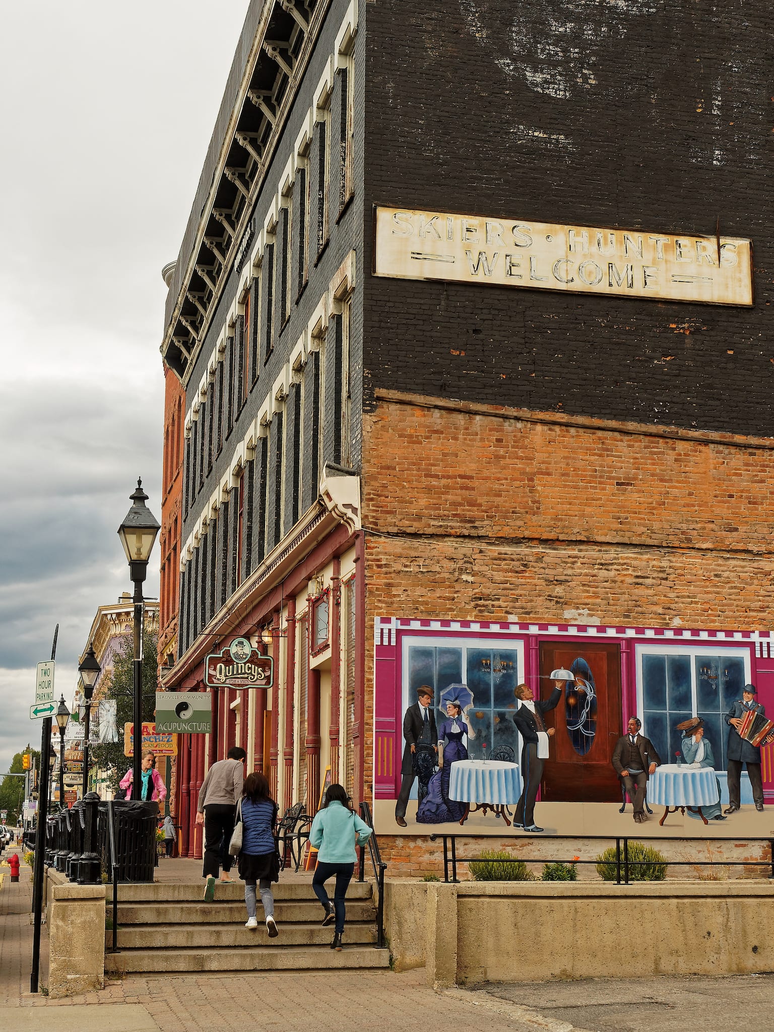
Leadville is the highest elevated city in Colorado at 10,152 feet (3,094 meters), along with America’s highest incorporated city.
What is the lowest elevation in Colorado?
The lowest point lies on the eastern plains by the Arikaree River at 3,317 feet (1,011 meters).
What is the lowest-elevation town in Colorado?
Located in Southeast Colorado, the town of Holly has an elevation of 3,392 feet (1,034 m), making it the lowest “town” in Colorado.
What is the lowest-elevation city in Colorado?
Located in Eastern Colorado, the city of Wray has an elevation of 3,566 ft (1,087 m), making it the lowest “city” in Colorado.
Colorado Towns Listed by Elevation
 Downtown Silverton, Colorado. Photo: Mike McBey
For the list of highest towns in Colorado, we’re starting at 9,000+ feet of elevation. All of these reside in the Rocky Mountains, so they are true mountain towns.
In the past, there were some old mining towns that were even higher, such as Animas Forks at over 11,000 feet. But due to the difficult, exhausting nature of living at elevation, like the cold weather and snow, these towns turned into ghost towns, and many disappeared completely due to the elements.
Regarding elevation and temperature, as a generic rule of thumb, temperatures decrease about 3.3°F per 1,000 feet. So if you’re at your local ski resort and it’s 30°F at the base, and the summit is 2,000 vertical feet higher, then you can expect it to be about 23°F up top.
List of highest elevation mountain towns in Colorado, starting with the highest:
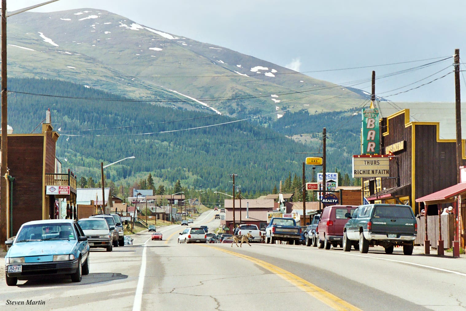
Alma – 10,578 ft (3224 m)
312 (2018); 270 (2010): 179 (2000)
 Main Street, Alma. Photo: Steven Martin
Leadville gets all the credit as the highest city, however, Alma is higher, just not considered a city. It does claim to be the highest incorporated municipality in the country, with a full time population. It’s located in northern Park County, about thirty minutes south of Breckenridge via Hoosier Pass. The downtown has a couple blocks of shops and restaurants. There are other claims to fame, like the highest marijuana dispensary in the world too.
Leadville – 10,152 ft (3,094 m)
2,762 (2018); 2,602 (2010); 2,821 (2000)
 Downtown Leadville, Colorado. Photo: Eli Duke
Leadville is the highest elevated city in the United States of America, and the second highest community in Colorado. It has a well preserved historic district that’s worth a stroll during any time of year. Colorado’s two highest peaks can be seen from town, Mount Elbert (14,440′) and Mount Massive (14,430′). Ski Cooper is the local ski area offering light dry powder and vivid views of the aforementioned peaks.
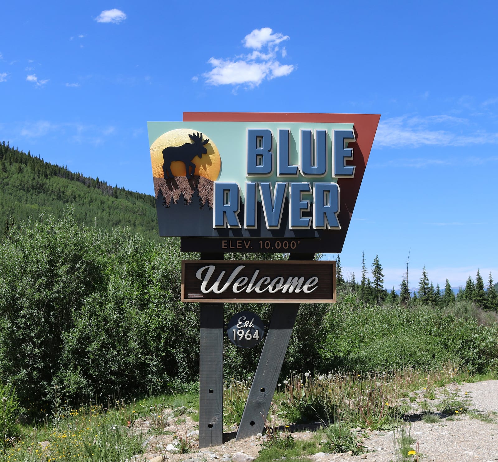
Blue River – 10,036 ft (3,059 m)
927 (2018); 849 (2010); 685 (2000)
 Welcome to Blue River, CO! Photo: Jeffrey Beall
Five miles south of Breckenridge sits the statutory town of Blue River. It’s a mostly residential community with some full time residents and many more seasonal vacation homes. It sits near the start of Hoosier Pass, which leads south on Highway 9 over the continental divide to Alma. The headwaters of the Blue River begins nearby the town of the same name.
Fairplay – 9,953 ft (3,034 m)
762 (2018); 679 (2010); 610 (2000)
 Main Street, Fairplay. Photo: Kent Kanouse
This town is the county seat and hub of the South Park basin, and located only five miles south of Alma. There’s a small downtown area with some historic buildings, including a restored 1880s ghost town at the South Park Museum. Fairplay is a friendly community of locals who enjoy their high elevation living. There’s even a dog park in town, as well as a microbrewery.
Platoro – 9,870 ft (3,008 m)
 Overlooking Platoro, CO from FR 250. Photo: Jeffrey Beall
This seasonal southern Colorado village is the remote on the list, located two hours from any towns of considerable size. It’s two hours north to South Fork, two hours west to Pagosa Springs, two hours east to Monte Vista, and two hours south to Chama, NM. The once bustling mining camping of the late 1800s now attracts summer and early fall visitors to enjoy its wilderness, surrounded by the Rio Grande National Forest.
Platoro’s main attraction is a lake by the same name, Platoro Reservoir. There are a few lodges in town renting cabins, as well as slew of campsites close by. It’s best visited from Memorial Day to October.
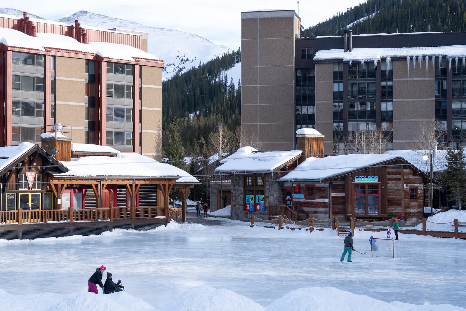
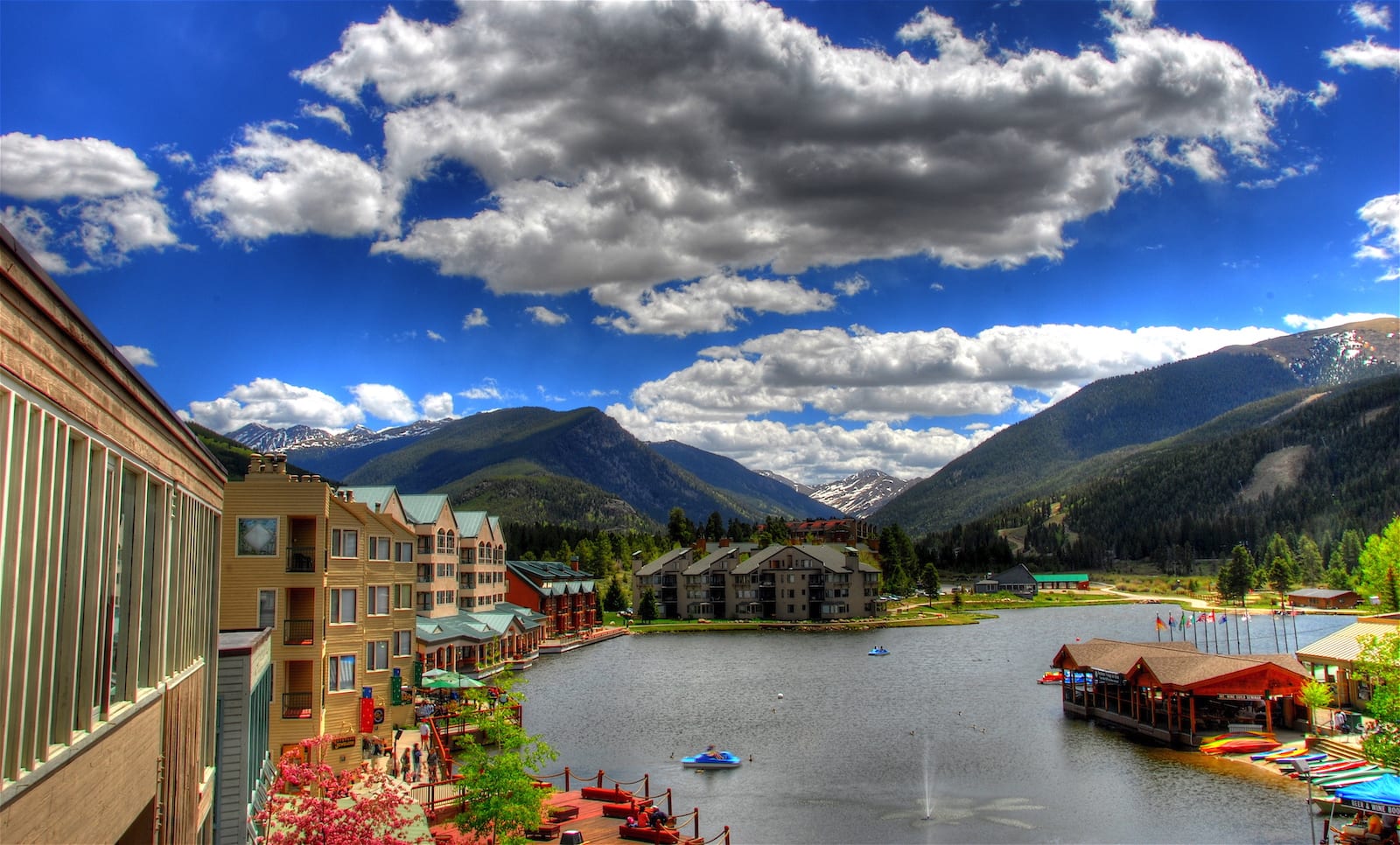
Copper Mountain – 9,712 ft (2,960 m)
316 (2018); 385 (2010); 210 (2000)
 Skating at Copper Mountain Resort. Photo: Dino Borelli
There’s really not too much to the town of Copper Mountain outside of the resort. It has three base villages and a lot of condo style lodging, but it’s much less crowded than its Summit County neighbors after the apres-ski hours are over. However, the skiing is top notch and they’ve been developed their summer activities as well, with a newer Rocky Mountain Coaster open during both peak seasons.
Victor – 9,708 ft (2,959 m)
415 (2018), 397 (2010), 440 (2000)
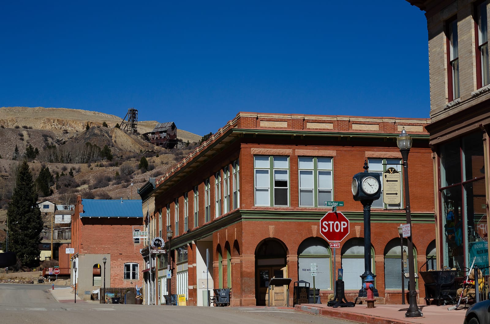 Downtown Victor, CO. Photo: Scrubhiker
Like its Teller County neighbor Cripple Creek, Victor contributed to the rich mining camps of the region. Today, unlike its sister mining town, Victor lacks casinos. So the main draw is its history, visible around the area, from a small historic district downtown, to mining relics in the hills. There’s also more than one reported haunted hotel in town, so if paranormal activity is your thing, be sure to book a room.
Twin Lakes – 9,700 ft (3,000 m)
171 (2010)
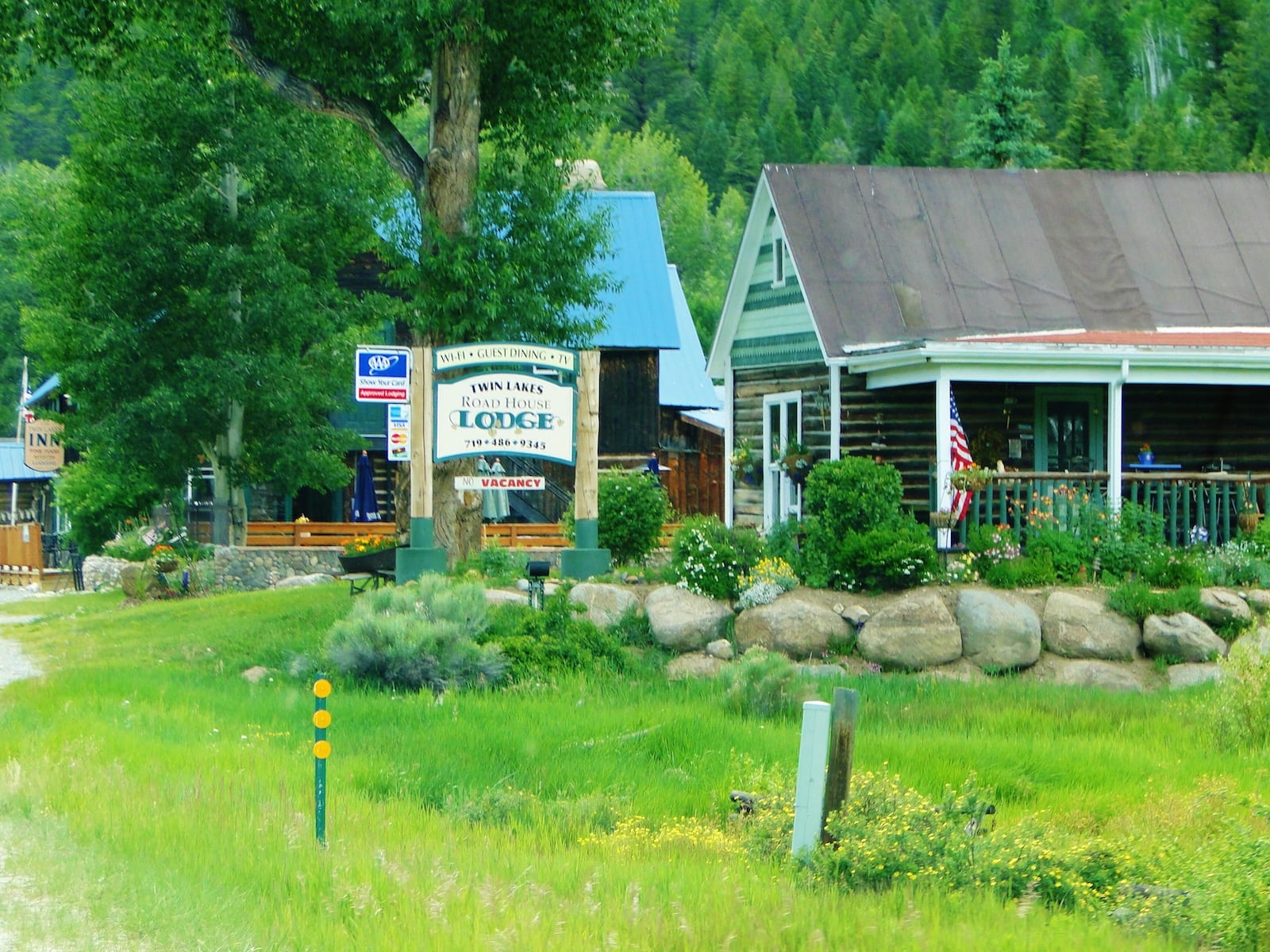 Village of Twin Lakes, Colo. Photo: Cyndi and Dave
About halfway between Leadville and Buena Vista sits the village of Twin Lakes, named for the alpine reservoir next to town. It’s a tiny community that’s much more visited in the warmer summer months while Independence Pass is open. It sits at the eastern start of this pass on Highway 82, which crosses the continental divide over into Aspen.
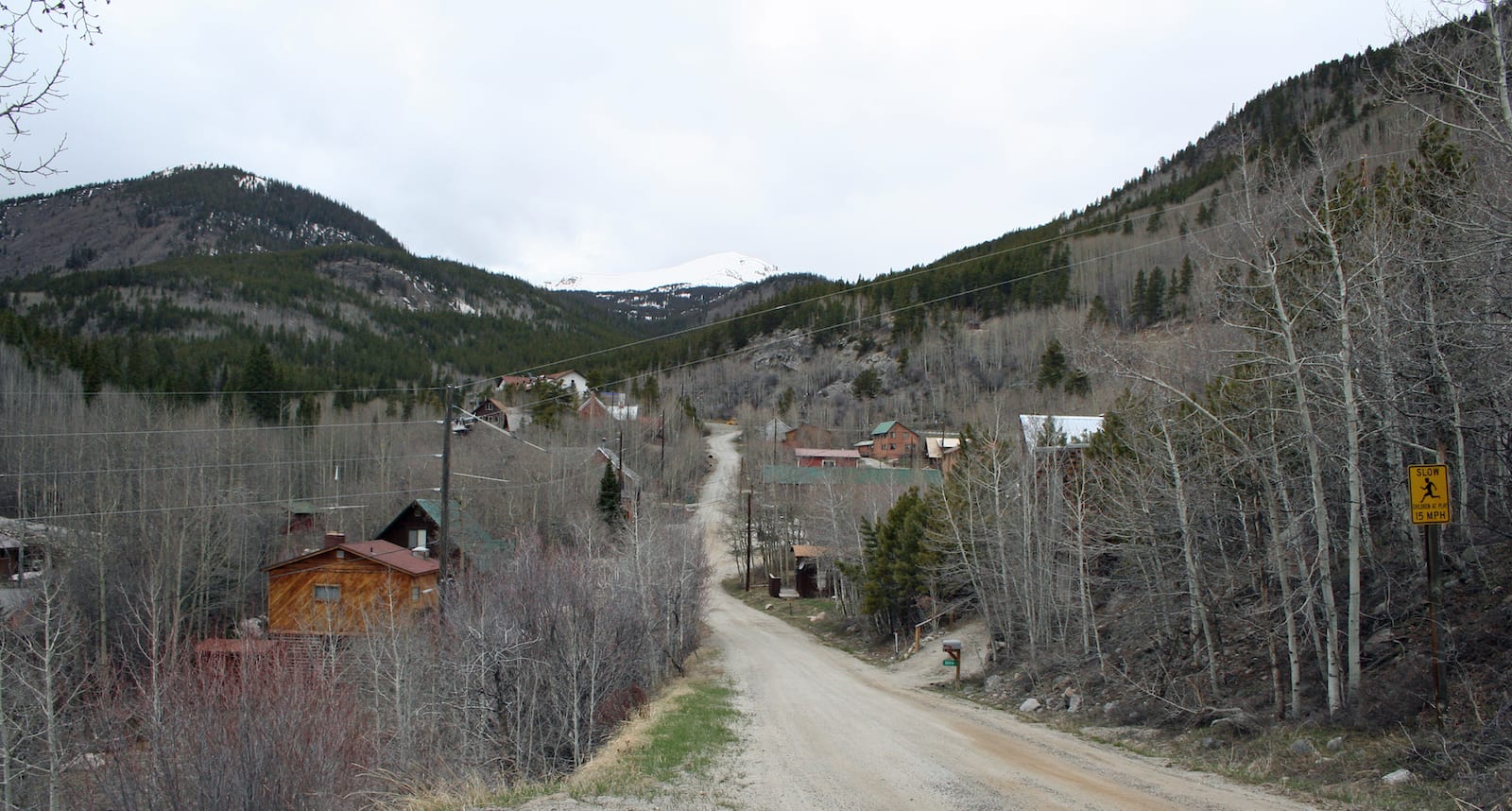
Ophir – 9,695 ft (2,955 m)
179 (2018); 159 (2010); 125 (2000)
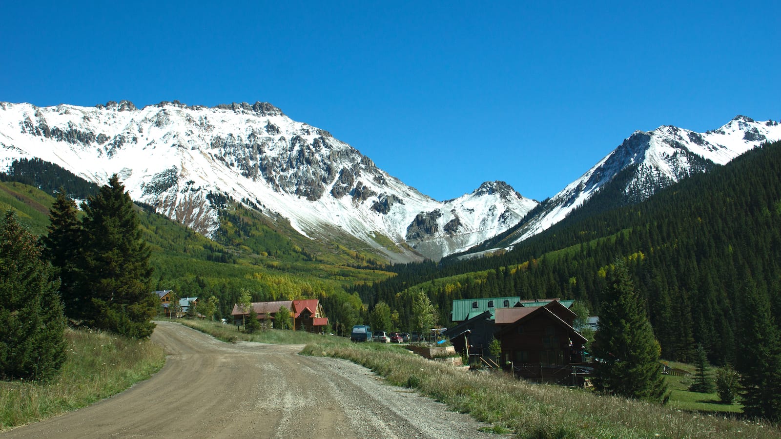 Ophir Pass, CO. Photo: turcottes78
Thirteen miles south of Telluride hides the high elevation village of Ophir. It’s tucked away 2 miles east of CO-145 via Ophir Road, so you won’t see it unless you go looking. The pictures town of under 200 people enjoy their secret gem of a location, surrounded by alpine wilderness in every direction.
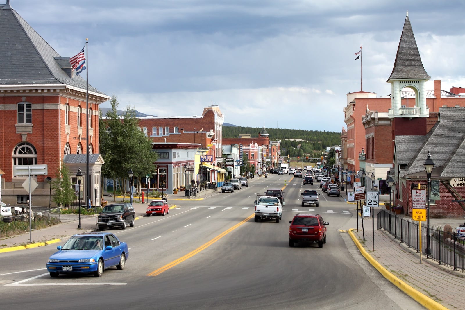
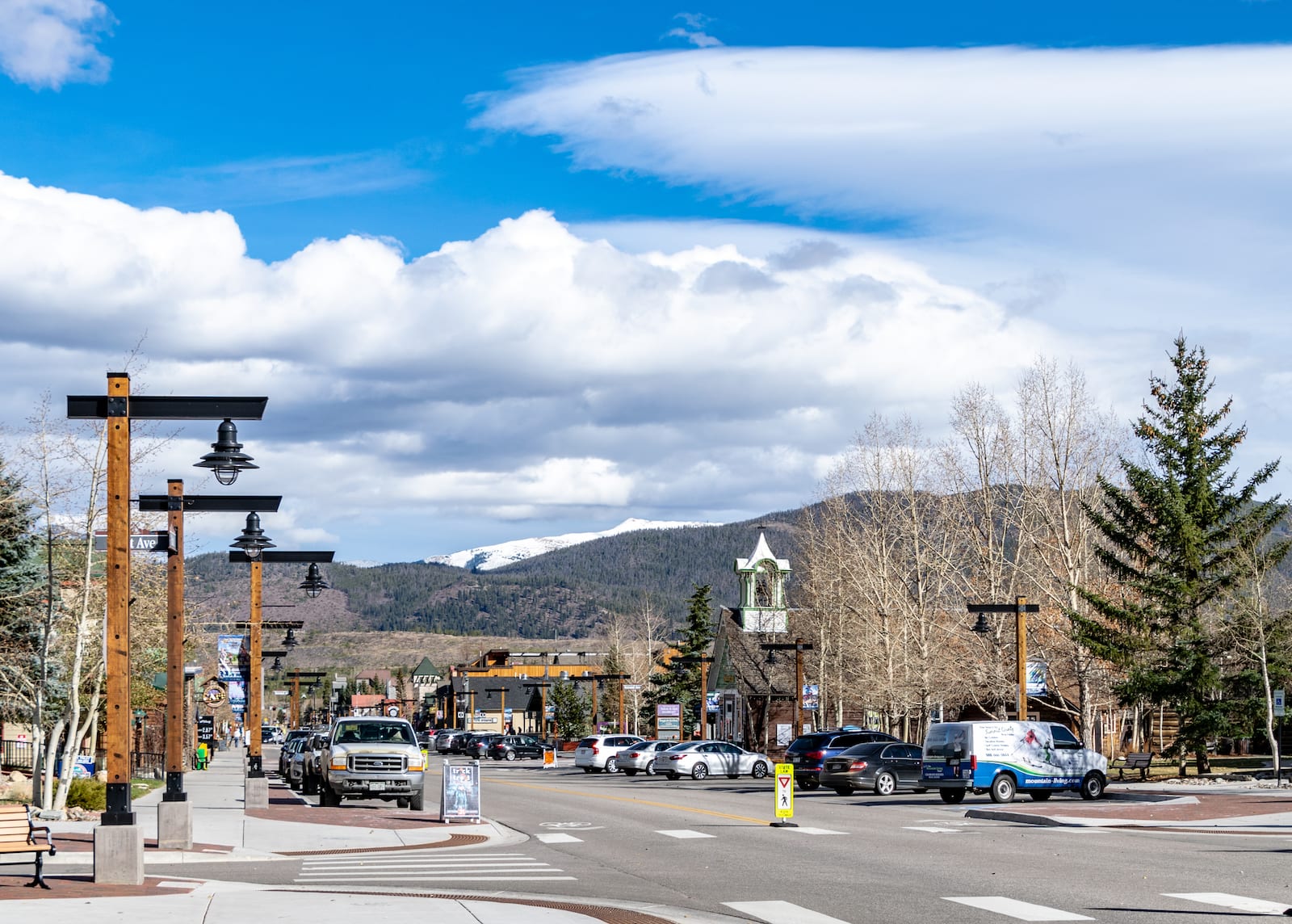
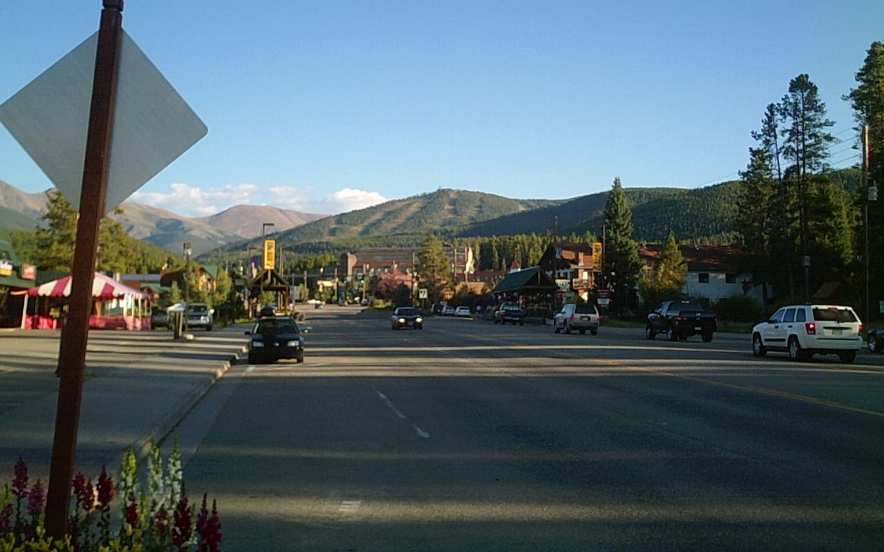
Breckenridge – 9,600 ft (2,926 m)
5,020 (2018); 4,540 (2010); 2,408 (2000)
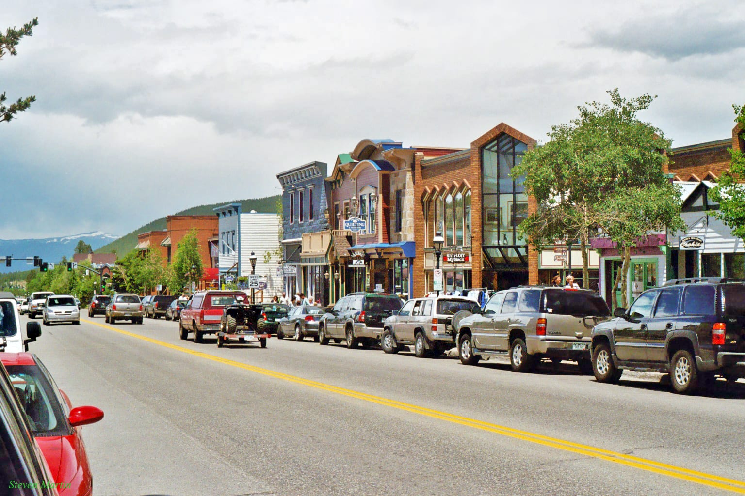 Main Street, Breckenridge. Photo: Steven Martin
Easily one of Colorado’s most visited mountain towns, Breckenridge is a delightful destination year round. It is Summit’s county seat and one of the larger mountain towns in Colorado. It’s the biggest one over 9,000 feet in elevation. The local resort offers epic skiing in the winter and a Fun Park in the summer. Downtown Breck is lined with more restaurants on its multiple historic blocks than you can shake a stick at.
Mountain Village – 9,545 ft (2,910 m)
1,434 (2018); 1,320 (2010); 978 (2000)
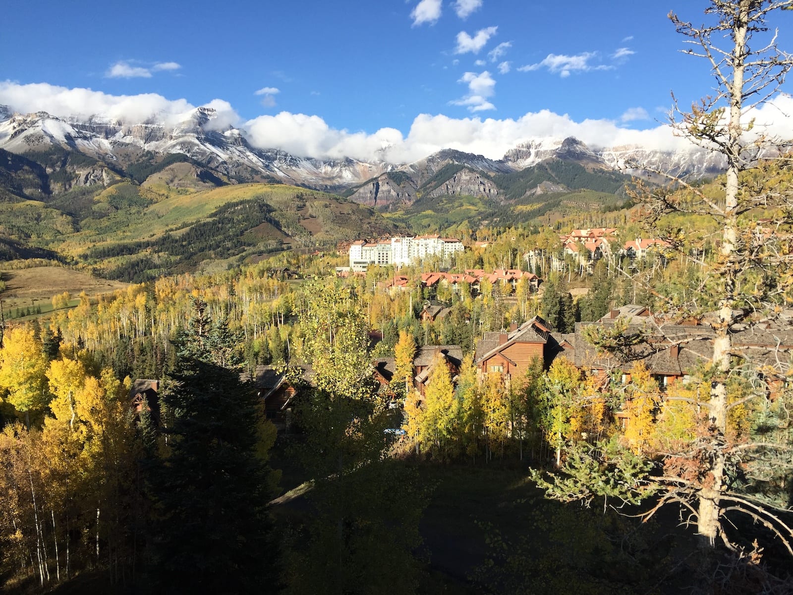 Mountain Village, CO.
While Telluride is one of Colorado’s best ski towns, and pretty damn high at 8,750′, there are actually two parts to town. Mountain Village is it’s own Home Rule Municipality and distinct place, therefore it’s high enough to make the cut. A free gondola rides connects Mountain Village with downtown Telluride, operating daily year round. Both provide restaurants, shopping and lodging to visitors, but Mountain Village is much more residential than Telluride.
Monarch – 9,544 ft (2,909 m)
 Monarch’s main road, CO. Photo: Jeffrey Beall
Twenty minutes west of Salida and fifteen miles west of Poncha Springs on Highway 50 passes by the village of Monarch. It’s located on Monarch Pass nearly 4 miles east of Monarch Mountain Ski Resort. There’s not much in town just some lodging, vacation homes and a scattering of permeant residents. The unincorporated community shares a post office with Salida.
Cripple Creek – 9,494 ft (2,894 m)
1,267 (2018), 1,189 (2010), 1,115 (2000)
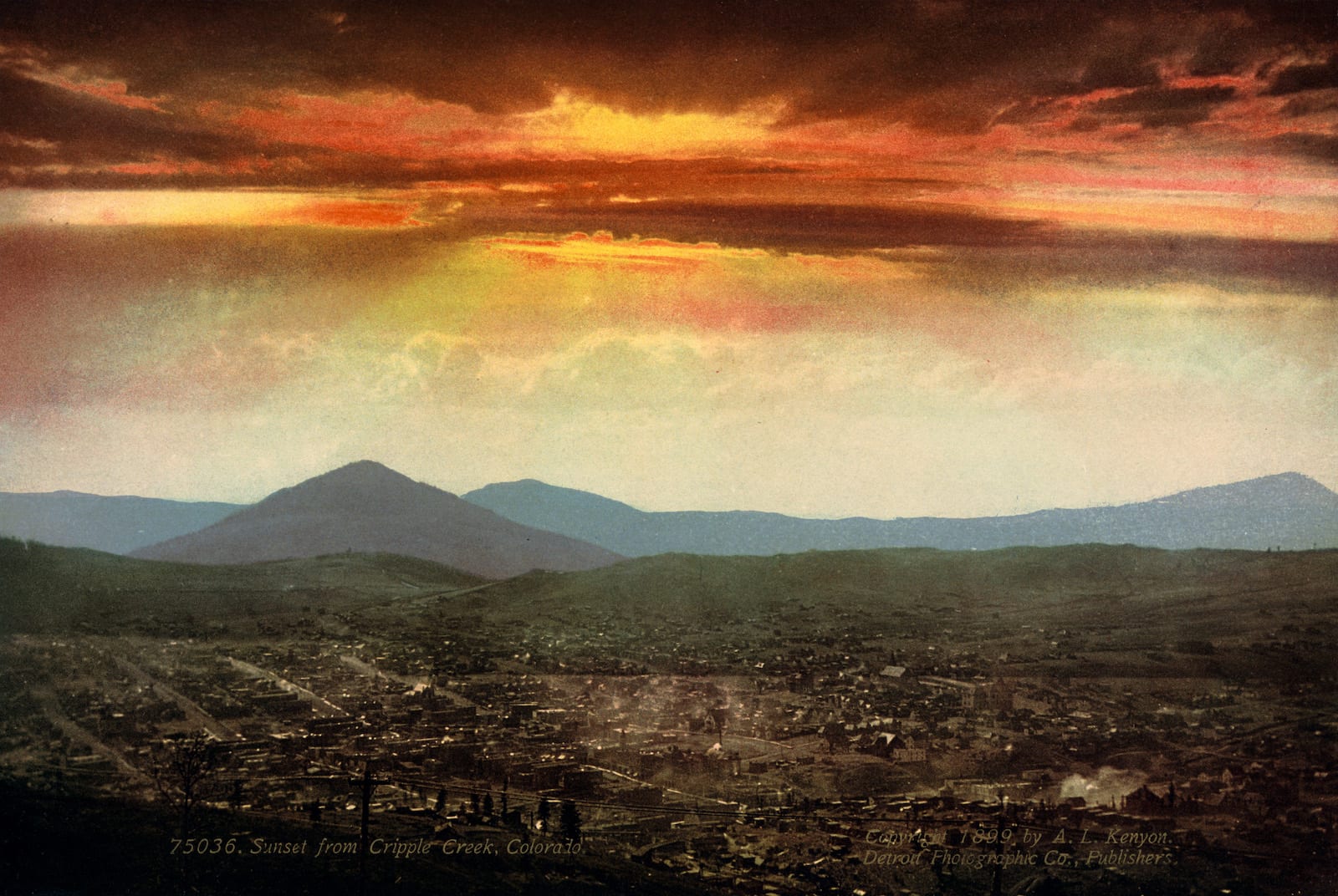 Sunset over Cripple Creek, circa 1899. Photo: trialsanderrors
Cripple Creek is where Colorado Springs goes to gamble. Whether it’s classic table games or the latest, dazzling slot machines you’re after, downtown Cripple Creek along East Bennett Avenue has you covered. Dotted with historic structures and casino after casino, Cripple Creek is one of three modern day casino towns, which also includes Black Hawk and Central City near Denver. Put your money on your favorite number and spin that wheel!
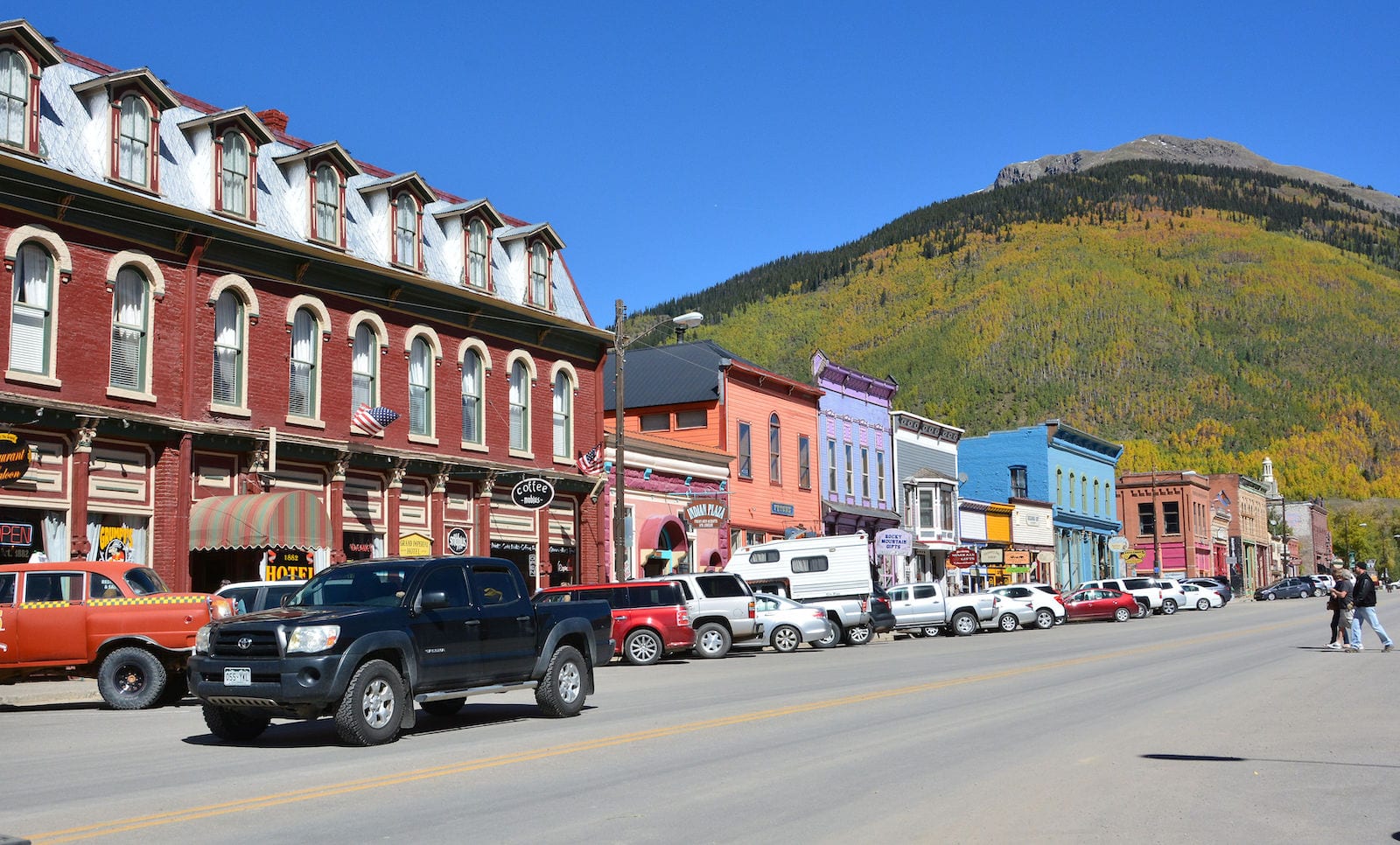
Silverton – 9,318 ft (2,840 m)
694 (2018); 637 (2010); 531 (2000)
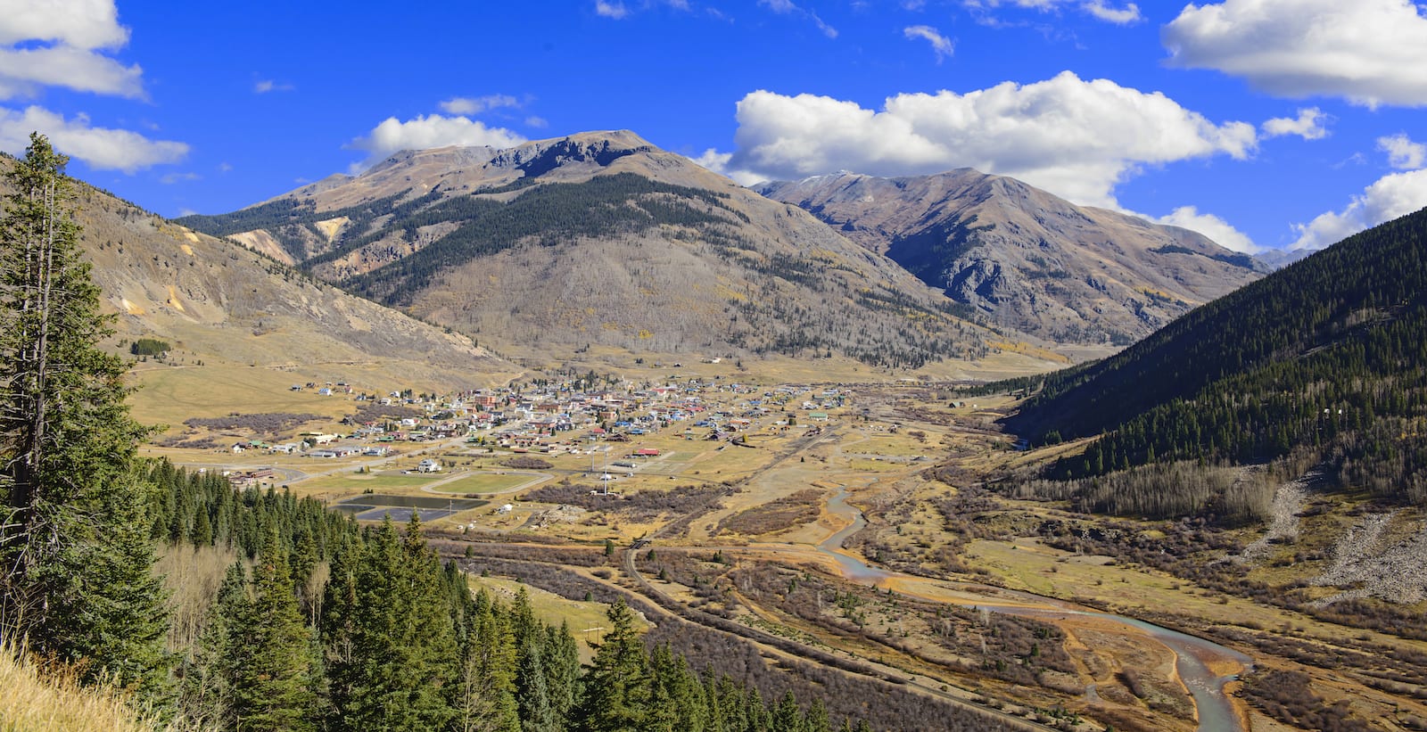 Silverton, Colorado. Photo: Jerry and Pat Donaho
Silverton is a secluded ski town home to the most gnarly resort in the state, Silverton Mountain. It located on the southern start of the Million Dollar Highway, which travels 45 minutes north to Ouray. Even though it’s home to an epic expert only ski area, the town is pretty desolate during the winter. In the summer, it’s much more popular, with attractions like the Durango & Silverton Railroad, 4×4 Alpine Loop and San Juan National Forest.
Divide – 9,165 ft (2,793 m)
87 (2018); 127 (2010); 41 (2000)
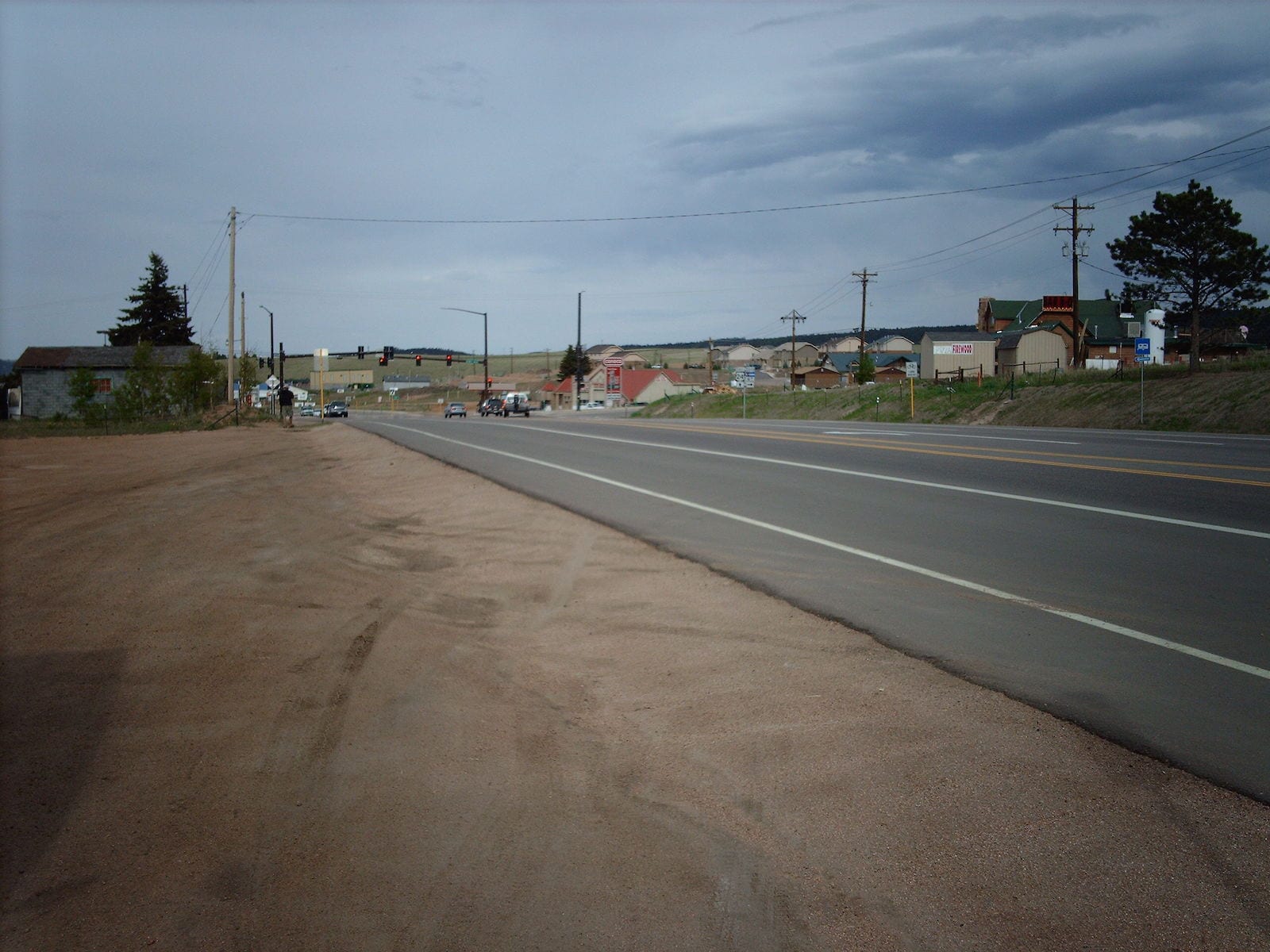 Divide from Ute Pass. Photo: Nationalparks
This Teller County town at the top of Ute Pass is situated about forty minutes west of Colorado Springs. The community is small and there are only a few businesses in town. Divide is a gateway to Highway 67 south to Cripple Creek and Victor, as well as a through town for travel on Highway 24 to South Park and beyond.
Keystone – 9,173 ft (2,796 m)
978 (2018); 1,079 (2010); 825 (2000)
 Keystone Lodge, Colorado. Photo: slack12
Home to my favorite ski resort in Summit County, Keystone is hidden just far enough away from I-70 that you won’t see it unless you go looking. The downtown area is the mountain village, which is picturesque and full of restaurants, stores and accommodations. The massive Keystone Lake is a sight to see, and features terrific ice skating in the winter and non-motorized boating in the summer, such as kayaking.
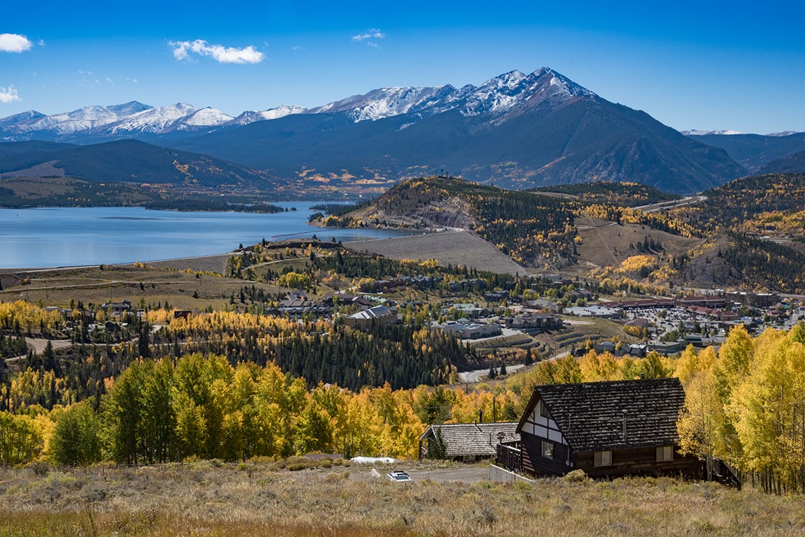
Dillon – 9,111 ft (2,777 m)
973 (2018); 904 (2010); 802 (2000)
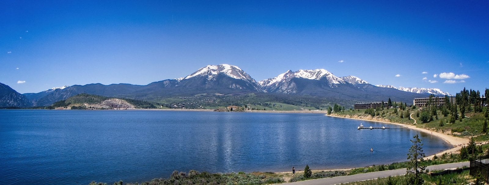 Dillon Reservoir in Dillon. Photo: Jim & Robin Kunze
Another Summit County town, Dillon sits on the eastern side of Dillon Reservoir. It’s a small town tucked between Silverthorne and Keystone with several commercial shops to add to the plethora of choices nearby. There’s a small crop of businesses nearby the lake, include the Dillon Marina where you can rent boats during the summer.
Frisco – 9,097 ft (2,766 m)
3,157 (2018); 2,683 (2010); 2,443 (2000)
 Downtown Frisco, Colorado. Photo: Terry Ott
On the opposite western side of Dillon Reservoir is Frisco. It also has its own marina where you can reserve boat rentals. However, Frisco is far larger than Dillon and features the “Main Street of the Rockies”, in its downtown stretch. However, all the towns around the lake are within a short drive to one another.
Winter Park – 9,052 ft (2,780 m)
1,051 (2018); 999 (2010); 662 (2000)
 Downtown Winter Park, CO. Photo: Paul Swansen
On the western slope of the continental divide via Berthoud Pass lies Winter Park. It’s only 1.5 hour from Denver and with its own big, family-friendly ski resort, it’s extremely popular during the winter and winter. From Memorial Day to Labor Day the resort turns into an adventure park featuring an alpine slide and other activities. The town of Fraser 8,573′ borders Winter Park to the north on Hwy 40.
Silverthorne – 9,035 ft (2,754 m)
4,821 (2018); 3,887 (2010); 3,196 (2000)
 Ptarmigan Trail, Silverthorne. Photo: Brendan Bombaci
The last Summit County town to make the list sits behind the Dillon Dam. Silverthorne resides at the crossroads of Highway 9 north to Kremmling and later Steamboat Springs, south on Highway 6 to Dillon and Keystone, or east/west on Interstate 70. It’s the easiest town to reach it the county, and makes a really convenient basecamp for exploring all the surrounding attractions.
Granite – 9,012 ft (2,747 m)
116 (2010)
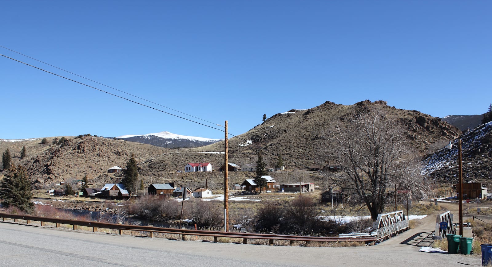 Granite, Colorado. Photo: Jeffrey Beall
There isn’t much of a town to Granite, just some homes in this unincorporated community. It rests just south of Twin Lakes, between Leadville and Buena Vista. Clear Creek Reservoir is located near town, which leads back to some cool ghost towns on County Road 390. The Arkansas River flows by town, the headwaters of which start about 17 miles north of town near Leadville.
That’s a roundup of the highest elevated towns in Colorado all above 9,000 ft. There may be some small communities we missed, or even some larger ones, if so please let us know. There are also so many towns that reside above 8,000 feet, like Crested Butte at 8,909′, and even higher in its mountain village.